The Ourthe and Laval Valleys Trail
In the Nature Park of the two Ourthes
The ‘Sentier des Vallées de l’Ourthe and du Laval’ is a 105 km route in the commune of Sainte-Ode in the province of Luxembourg. It’s composed of five loops , all of which start and finish in Beauplateau.
105 km on foot
The loops are :
- Le sentier de la Girolle : 17,820 km
- Le sentier du Cèpe de Bordeaux : 26,790 km
- Le sentier de l’Agaric : 17,810 km
- Le sentier de la Lépiote : 25,550 km
- Le sentier du Coprin : 16,270 km
The five routes are all signposted with the GTA’s yellow and white markers .
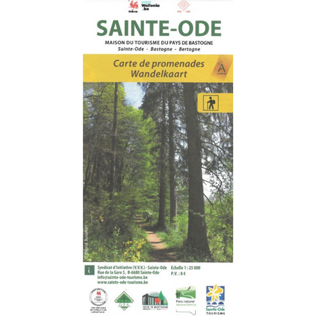
We recommend that you use the Sainte-Ode walking map, on which the different circuits are listed, in order to orient yourself at any given time.
This map also shows all the marked local walks in the commune of Sainte-Ode. These routes have the markings you’ll find in other municipalities in Wallonia, such as the yellow and red rectangles etc.
The routes vary in distance between two and 10 km.
IVV
Walking map
To accompany you, in collaboration with the Tourist Office of Sainte-Ode, the Maison de la Randonnée offers the IGN map showing the pedestrian routes of the five loops as well as the marked local walks in the commune of Sainte-Ode.


